This is a lovely family walk in the Hampshire countryside.
7km (c 2hrs)
Halfway Pub: Abbot's Mitre, Chilbolton

The starting point is the Nature Trail car park on Coley Lane. Spaces were limited (room for about 15 cars).

From the car park cross over Coley Lane and turn left along the path beside the high brick wall to a junction beside the bridge.
Turn right along the path that follows the former railway and later cross over the River Test, before passing the remains of the old railway platforms hidden amongst the trees (Fullerton Junction).
(Fullerton Bridge station, on the Sprat and Winkle line, opened in 1865. When the Hurstbourne-Fullerton branch opened in 1885, the platforms were moved slightly to the south and the station was re-named Fullerton Junction. The station master's house remained at the original site. The branch to Hurstbourne closed for passengers in 1931 and totally in 1956. Fullerton Junction station closed along with the Kimbridge to Andover section of the Sprat and Winkle in 1964. The track was lifted and the buildings at the Junction station were demolished, although the platforms survive, covered in trees. The buildings at the original station are now private houses).
Continue along the tarmac track and after the house on the left turn sharp left. Follow the track as it swings right under the A3057 and then left to reach Fullerton Road. Turn right to cross the River Anton and follow the road, keeping right at the junction and continue uphill for 400m.
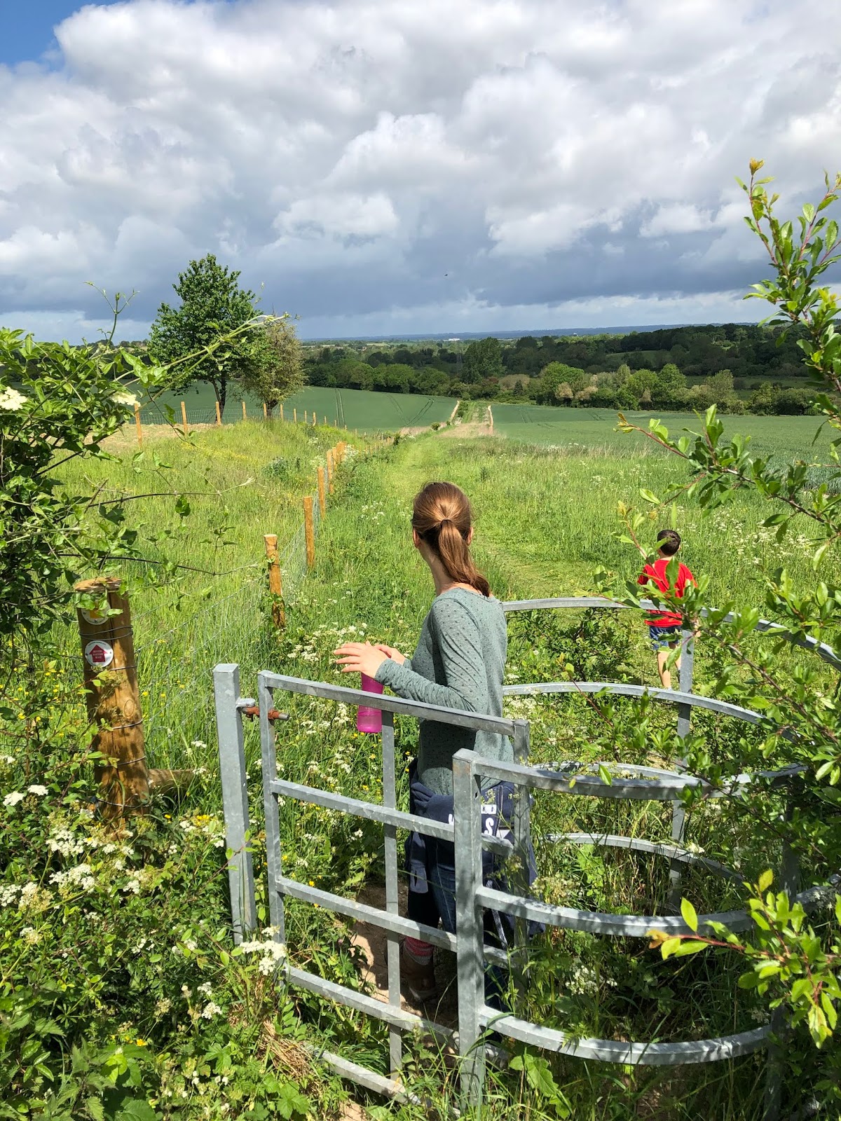
At the entrance drive on the left (Fullerton Manor), turn right into the field and then turn left along the track for 700m. Go through a gate and follow the fence downhill.
(This is a lovely part of the walk, we saw so many butterflies and even a prancing deer on this stretch)


2 (SU368406)
Bear left along the track to a path junction and turn right through a gate. Follow the track over the bridge and continue, soon with the River Anton on the left. Turn left through a gate and cross the footbridge.

Keep ahead through the trees to a junction and turn right alongside the field edge. Exit through a large gate and with care, cross over the A3057.
Go through the bushes and cross the stile.
Head diagonally right, steeply uphill, then continue alongside the fence on the left. Go through a gate and continue past bushes and then alongside the fence. Later, dogleg left and right and continue. Follow the hedge on the right as it swings left and right, and then heads downhill.
3 (SU384404)
At the bottom of the field, ignore the track ahead, but turn left to a path junction and fork right down some steps to the road. Turn left for 50m and then right along the track (Test Way). Go through the gate and cross a couple of long footbridges over the River Test.

Go through another gate to enter Cow Common and head south-east. Cross a footbridge and immediately turn left (shortcut: keep ahead to the car park and turn right). Go through a gate and follow the enclosed path, then through another gate. Continue alongside the fence and through a gate. Turn left through a gate and follow the fence, pass another gate and leave the field over a stile.
4 (SU394403)
Turn right along the lane, passing St Mary’s Church, and keep right at the junction.
Follow the Village Street through Chilbolton for 500m passing the Abbots Mitre pub and village shop. Turn right down Joy’s Lane to a car park and fork left (shortcut rejoins here).
Follow the track (Test Way) as it curves round a thatched cottage and just before the Memorial Playing Field gate turn right along a path (fence on the left). Later turn left through a gate to enter the playing field and turn right. Leave through another gate and follow the enclosed path to reach Coley Lane.
Cross over and turn left, then right at the entrance track for West Down. Immediately turn right through a gate to enter the nature reserve and follow the Test Way south-west, passing some trees and seats before heading downhill back to the starting point.
7km (c 2hrs)
Halfway Pub: Abbot's Mitre, Chilbolton
The Route

The starting point is the Nature Trail car park on Coley Lane. Spaces were limited (room for about 15 cars).

From the car park cross over Coley Lane and turn left along the path beside the high brick wall to a junction beside the bridge.
Turn right along the path that follows the former railway and later cross over the River Test, before passing the remains of the old railway platforms hidden amongst the trees (Fullerton Junction).
(Fullerton Bridge station, on the Sprat and Winkle line, opened in 1865. When the Hurstbourne-Fullerton branch opened in 1885, the platforms were moved slightly to the south and the station was re-named Fullerton Junction. The station master's house remained at the original site. The branch to Hurstbourne closed for passengers in 1931 and totally in 1956. Fullerton Junction station closed along with the Kimbridge to Andover section of the Sprat and Winkle in 1964. The track was lifted and the buildings at the Junction station were demolished, although the platforms survive, covered in trees. The buildings at the original station are now private houses).
Continue along the tarmac track and after the house on the left turn sharp left. Follow the track as it swings right under the A3057 and then left to reach Fullerton Road. Turn right to cross the River Anton and follow the road, keeping right at the junction and continue uphill for 400m.
At the entrance drive on the left (Fullerton Manor), turn right into the field and then turn left along the track for 700m. Go through a gate and follow the fence downhill.
(This is a lovely part of the walk, we saw so many butterflies and even a prancing deer on this stretch)

2 (SU368406)
Bear left along the track to a path junction and turn right through a gate. Follow the track over the bridge and continue, soon with the River Anton on the left. Turn left through a gate and cross the footbridge.

Keep ahead through the trees to a junction and turn right alongside the field edge. Exit through a large gate and with care, cross over the A3057.
Go through the bushes and cross the stile.
Head diagonally right, steeply uphill, then continue alongside the fence on the left. Go through a gate and continue past bushes and then alongside the fence. Later, dogleg left and right and continue. Follow the hedge on the right as it swings left and right, and then heads downhill.
3 (SU384404)
At the bottom of the field, ignore the track ahead, but turn left to a path junction and fork right down some steps to the road. Turn left for 50m and then right along the track (Test Way). Go through the gate and cross a couple of long footbridges over the River Test.

Go through another gate to enter Cow Common and head south-east. Cross a footbridge and immediately turn left (shortcut: keep ahead to the car park and turn right). Go through a gate and follow the enclosed path, then through another gate. Continue alongside the fence and through a gate. Turn left through a gate and follow the fence, pass another gate and leave the field over a stile.
4 (SU394403)
Turn right along the lane, passing St Mary’s Church, and keep right at the junction.
Follow the Village Street through Chilbolton for 500m passing the Abbots Mitre pub and village shop. Turn right down Joy’s Lane to a car park and fork left (shortcut rejoins here).
Follow the track (Test Way) as it curves round a thatched cottage and just before the Memorial Playing Field gate turn right along a path (fence on the left). Later turn left through a gate to enter the playing field and turn right. Leave through another gate and follow the enclosed path to reach Coley Lane.
Cross over and turn left, then right at the entrance track for West Down. Immediately turn right through a gate to enter the nature reserve and follow the Test Way south-west, passing some trees and seats before heading downhill back to the starting point.
Comments
Post a Comment