This circular walk starts in the village of Aston Tirrold and circles through the neighbouring village of Cholsey where Agatha Christie is buried.
The walk is about 5.7 miles and took about 2.5 hrs.
There is no pub on the route although there are pubs in both villages not far off the routes.
Car Park
We parked on Aston Street, just in front of the Church of St Michael in Aston Tirrold. Parking is just on street beside the road.
The Route
1. Facing the church / looking at the church head right for about 10 metres until you see the footpath sign pointing right. Take this broad path.
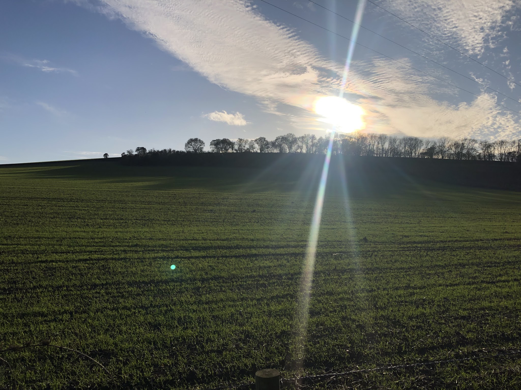
2. After about 10 metres you'll come to a fork, take the left path heading across the field facing about 10 o'clock.

3. At the end of the path you'll emerge into the very large field on the other side of some trees, onto a concrete farm track. Head left along this track, keeping the wooded hedge on your right.
Follow this field edge path, which at some point changes from concrete to grass, until you reach a left turn in the middle of the field beside a deep ditch.
Ahead of you you'll see a set of electricity wires and pylons at the far end of the field. Walk towards the pylons.
As you walk towards the pylons you will come to a narrow footbridge crossing to the right - take this and follow the path on the other side heading still towards the pylons.

4. At the end of the field continue following its boundary edge around to the right. Keep the hedge and water filled ditch on your left.
5. Turn left at the end of the woods (on your left) and head across a new field up to farm buildings. You will also be heading towards the railway line and bridge and may see the regular trains on the line.


6. Cross the railway bridge and continue along the farm trackway for about 200 m. heading towards the farm and the church at Cholsey.
7. As you reach the farm buildings and are in line with the church turn right, heading across the field to the church graveyard.

Agatha Christie is buried just on the left side of the graveyard with a large white headstone, a plaque is also attached to the graveyard wall.

8. Leave the church yard on the opposite side, heading through a small gate into a field. Continue through this field and head diagonally right to the field corner.
9. In the next field follow the branch railway line as it curves to the right. At the fields end you will follow a path than continues right under the main line through a short tunnel.

10. Emerging from the tunnel turn left into the next field and then cross the field diagonally left to the field corner.
11. Crossing to the next field starts a long straight route through the first field, through the boundary hedge and straight across the next field (under the electricity pylons again). After the second field, pass through the hedge and continue straight across the next field and the next.


12. From here you will continue straight up to a gate, and you'll see the farm buildings of Lollingdon Farm, where the Poet John Masefield used to live.
13. Pass through the metal gates in front of you and turn right towards the farm buildings.
14. Turn left opposite an old barn heading up the hill. This is Lollingdon Hill.
15. The path heads up and to the right. At a fork in the path take the left (upwards).
16. You'll (sadly) not reach the crest of the hill but the path still has amazing views over Oxfordshire - Wittenham Clumps at the two hillocks of trees in the far distance (another of our walks).
17. The path comes to the abrupt end of a field fence, immediately after this turn sharp right and follow the fence.
18. At the end of the fence head downhill following the path at 2 O'Clock diagonally across the field.
19. At the end of the field path you join a path on the other side of the fence, turn left.
20. After about 100 metres turn right through the wooded/hedge boundary - you'll see metal gates into a field - but follow the path round to the left.
21. Continue along the pathway heading into Aston Tirrold until you reach the same path took at step (2).
22. Turn left back to Aston Street and the Church where your car is parked.
Comments
Post a Comment